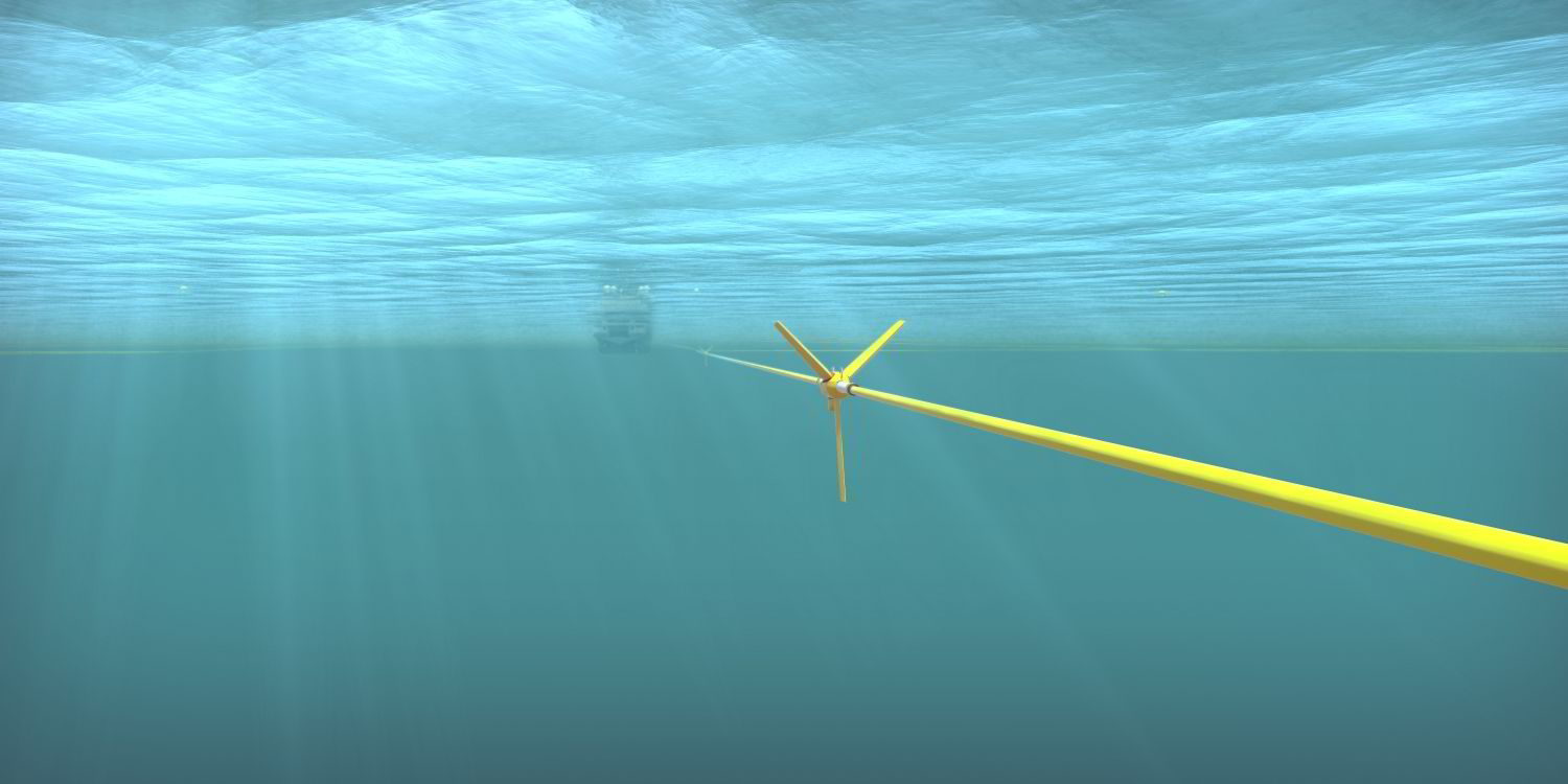
The system is being operated on a large 3D multi-client survey conducted by the CGG Geo Coral in Ireland’s Southern Porcupine basin.
Sercel says the Sentinel MS was specifically designed to deliver quality multi-sensor data sets to help the industry achieve good broadband imaging and generate detailed and accurate images of the subsurface.
The technology relies on a field-proven low-noise hydrophone and two accelerometers offering directional measurements for both cross-line and vertical wave fronts.